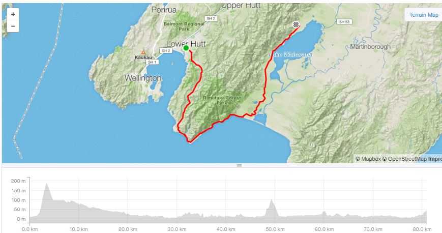
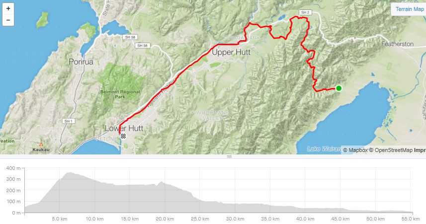
Day trip from Lower Hutt down the Wainuiomata Valley and around the coast to the Wairarapa returning via the Remutaka incline in Jan 2020.
Remutaka Incline loop
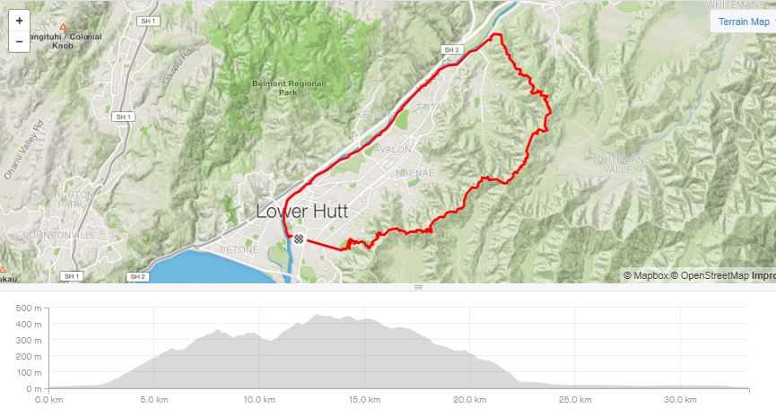
Due to unforeseen circumstances I was not going to be able to complete my annual bike packing trip. We found ourselves staying in Lower Hutt post Christmas, house sitting. The region is well set up for biking. At the entry level there is the river bank trails then there are great options if you want to head for the hills either west to Belmont or east towards Wainuiomata. Previously I had borrowed brother Andrew’s mountain bike to follow a ridge-line track to Stokes Valley only to navigate my way to the Northern end of Wainuiomata, coming out in some ones back yard after carrying the bike down a snotty, supplejack infested gully. This time I took the correct turn passing many beehives, dodging logging operations coming down on the northern side of Stokes Valley on a street I used to run up in my youth, for a flat cruise down the river bank trails.
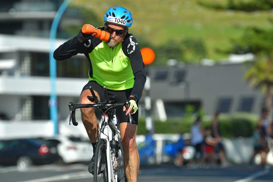
One of the benefits of my multiday trips is that they are great training for the annual Ironbics effort in the Ports of Tauranga half iron-man race that Cam, Tyler & I compete in. My goal has been to do the 90km bike ride in under 3 hour and at my age this needs a reasonable amount of training. So I had a bike available, plenty of rides to choose from and a free day as Glenys was keen to visit historic sights in Wellington.
A number of years ago I biked over the 25km Remutaka Incline (https://nzcycletrail.com/find-your-ride/22-great-rides/remutaka-cycle-trail/), a lovely bike trail following a historic railway route from Upper Hutt to the Wairarapa. I prefer to do a round trip rather than there & back so with the Rimutaka Hill road not being an option the only other route is around the very scenic South Coast.
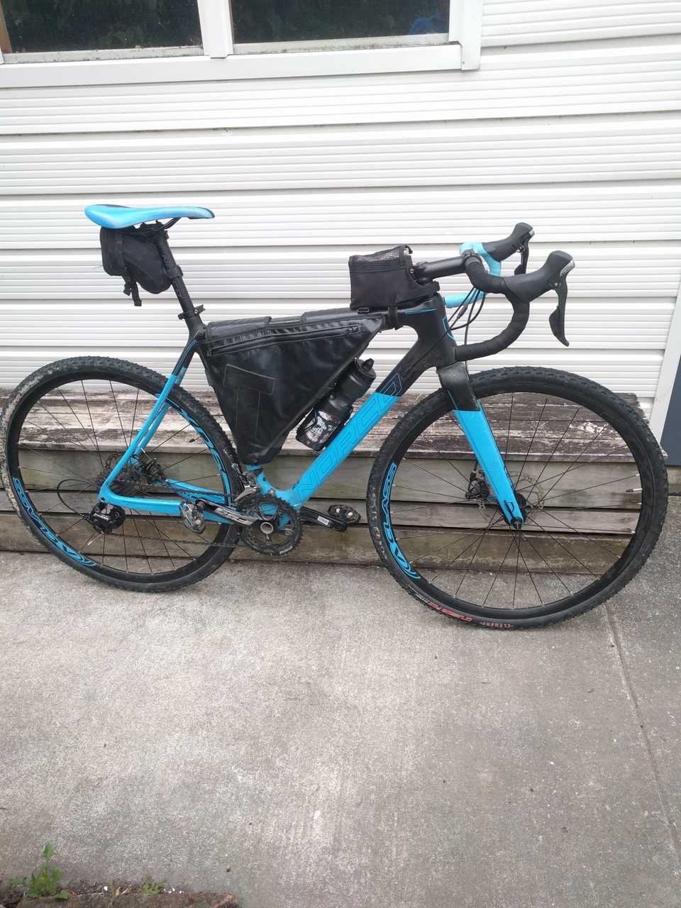
Andrew who was tramping somewhere in the Kaharangi National Park generously offered me the use of his bikes for the duration of our stay. His mountain bike which would be well suited to the south coast would be too sluggish for the long sections of tarseal & gravel roads. I opted for his Noroco cyclocross bike, with a carbon fibre frame, disc brakes, knobbly tires and a frame pack it would be ideally suited for such a jaunt. Some small cuts in the running surface of the back tire had me slightly concerned so I swapped it onto the front where it wouldn’t get such a pounding.
Apart from the 180m climb over the Wainui hill the predicted wind from the north for the day made the run down the Wainuiomata valley to the coast a breeze. I could have travelled down the Eastborne coast and over the ridge at Baring Head to make the trip more interesting but at that stage I was ignorant of any access issues, so played it safe. The gateway to the coast is through the Kyber Pass, where the road passes over a small low rocky pass giving great sea views and turning east. A couple kms later the road ends and the costal 4x4 track takes over.
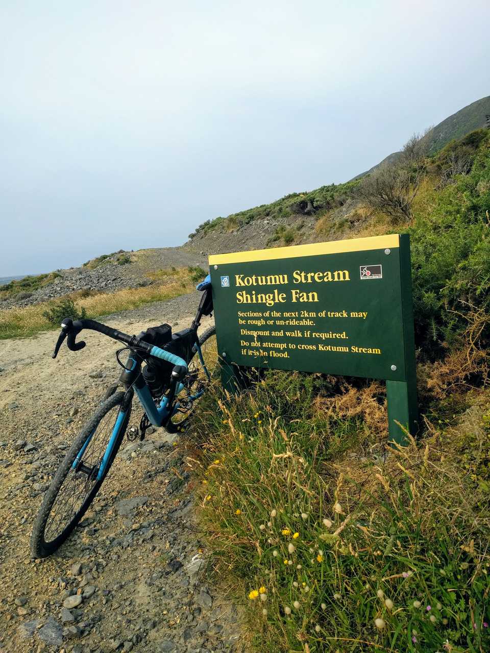
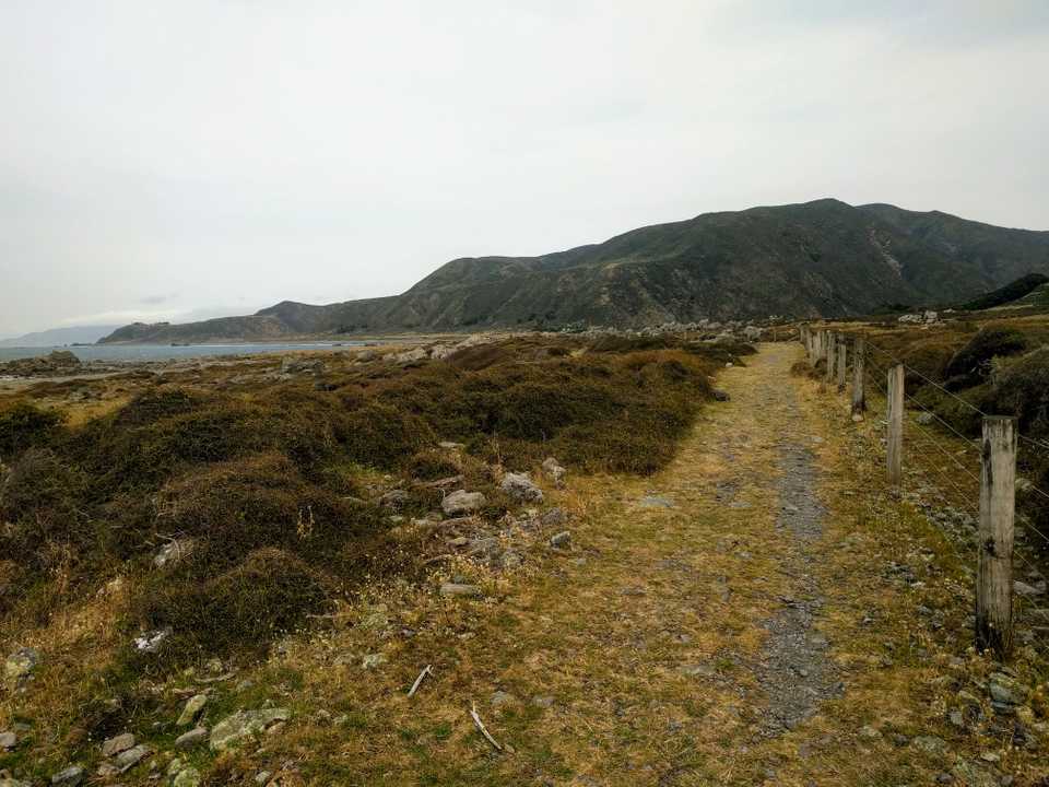
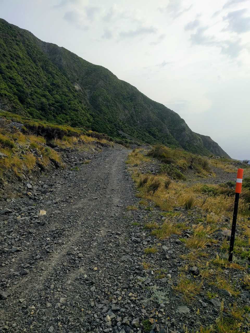
The track follows high on the earthquake raised level near the base of the steep & rocky hill sides. This is a rugged environment with strong salty winds and rocky terrain restricting plant growth to stunted bushes & other low lying flora. Shingle & bigger rocks are constantly being washed from the hills. I was able to ride most of it apart from the Kotumu Shingle Fan which is constantly moving and a sandy climb under some cliffs.
With the shape of the coast here the wind would rush down from the hills & pick up mini twisters of spray, fortunately the track is far enough off the coast to avoid being drenched by such events. At times I was balancing on my peddles & leaning into the wind but going nowhere such was the strength of it.
I took 1 ½ hours to do the 16km around the coast, it is a great ride but I wouldn’t like to do it in foul weather. I passed 4 people on bikes coming the other way who were taking 2 days for the trip, doing it in one means a lighter setup although being this remote means a bit more gear in case something goes pear shaped.
Civilisation started to appear in the form of a better track and baches. It also became more sheltered from the northerly. I found a sheltered place to stop for a bite to eat & stretch the legs. The tar seal started here but so would the head wind and while the forecast wasn’t too bad my experience around the coast would mean hard work for the next 30km. Strava tells me that the wind did impact this next section as my average was only 21.5km/hr. I also noted on this section that Andrew’s bike as nice as it is, is not fitted for me and so I was starting to get some areas of discomfort when I stopped for a break at Cross Creek, the start of the incline. 80 km completed in 4 hours of biking with 697m gained, add breaks that comes to 4 hrs 45 mins.
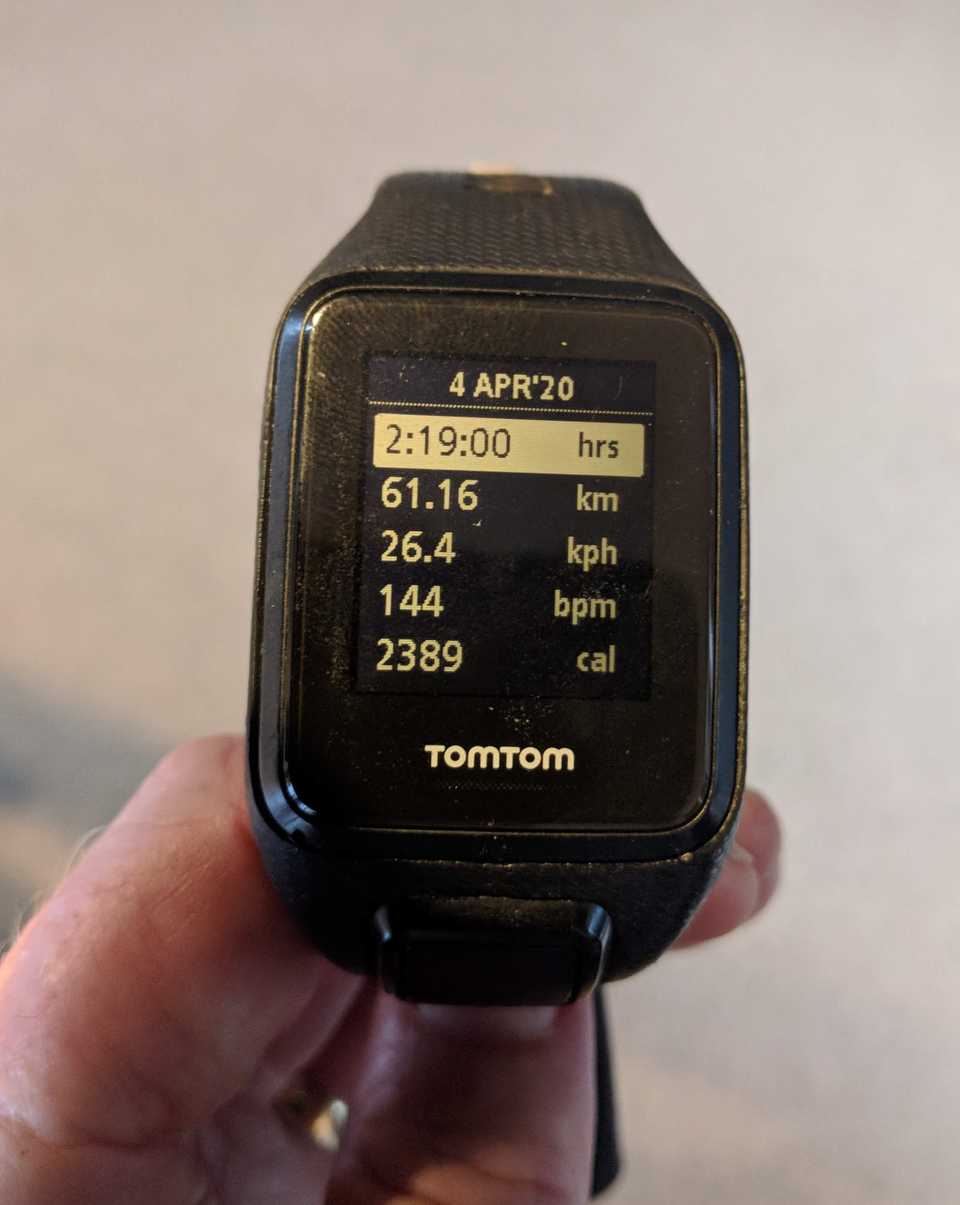
One of the great things about technology is that we can accurately know where we’ve been and how far & fast we’ve gone. I have a GPS wrist watch that does exactly that. I think it must be designed with road riders in mind though, as after about 5 hours the battery goes flat. I can either stop, have a long break & recharge it from a battery or in this case, switch to my phone to do the tracking. After my short rest to refuel & stretch before tackling the incline and what would you know, another head wind. How on earth did that happen???
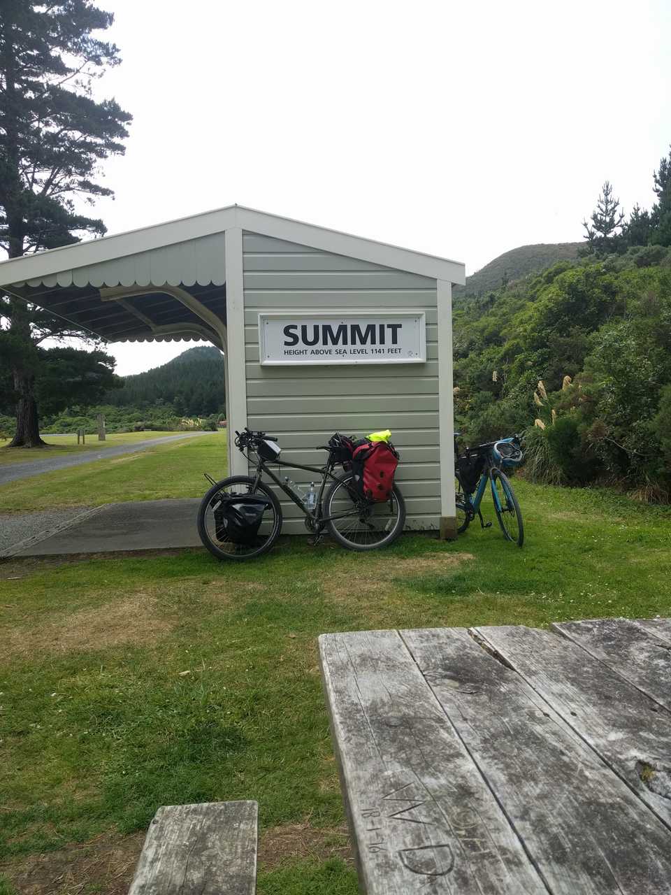
The ride from the coast had been due north east, the incline heads to the west and starts to climb, in fact over 6.5km I gain around 300m, and my legs felt it to begin with! This part of the trip is well worth doing. The track follows the line of the railway that linked the Hutt Valley with the Wairarapa. As I gained altitude the wind dropped but the clouds remained making nice riding conditions. As it was the Christmas holiday period the trail was well used and good to see that electric bikes are allowing older folk to get out to places like this. The new 90m swing bridge saves a climb into & out of Siberia gulley, this was the area that a locomotive was blown off a bridge in 1880.
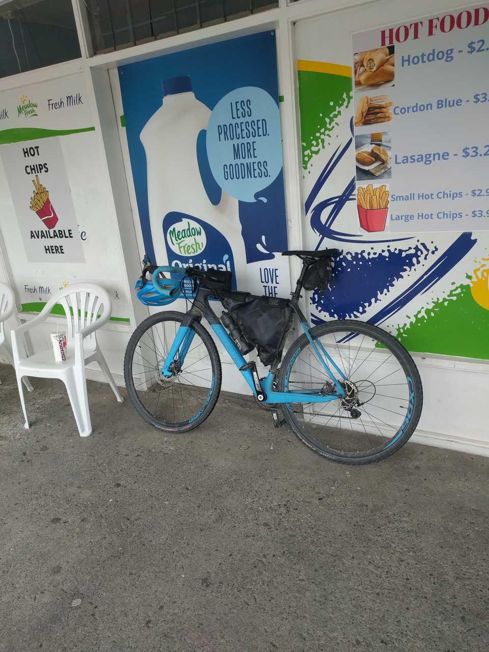
The last couple of years has seen bike packing becoming more popular, I passed a number of these riders on the way over, they’re usually good to talk to as they have had a few adventures on their travels. They were going a bit slow for me so I left them behind as I crested the incline, had another bite to eat at the old station, then headed down the nice incline to an ice cream at the only dairy so far, located at the top end of the Hutt River cycle trail.
From here it is just under 30km to complete my loop. There was a tail wind and a slight downhill so I managed good speed even with tired legs. The biggest issue on this part of the trip is dogs being walked and small children. Apparently neither are meant to be mown down so I do my best to give them a wide berth. All up a great day with 135km covered and about 8 ½ hours away with 6hrs 45 minutes moving time. Good training for the upcoming race, which I managed a sub 3 hour time, but more importantly a great day out riding through some great scenery.
