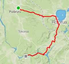
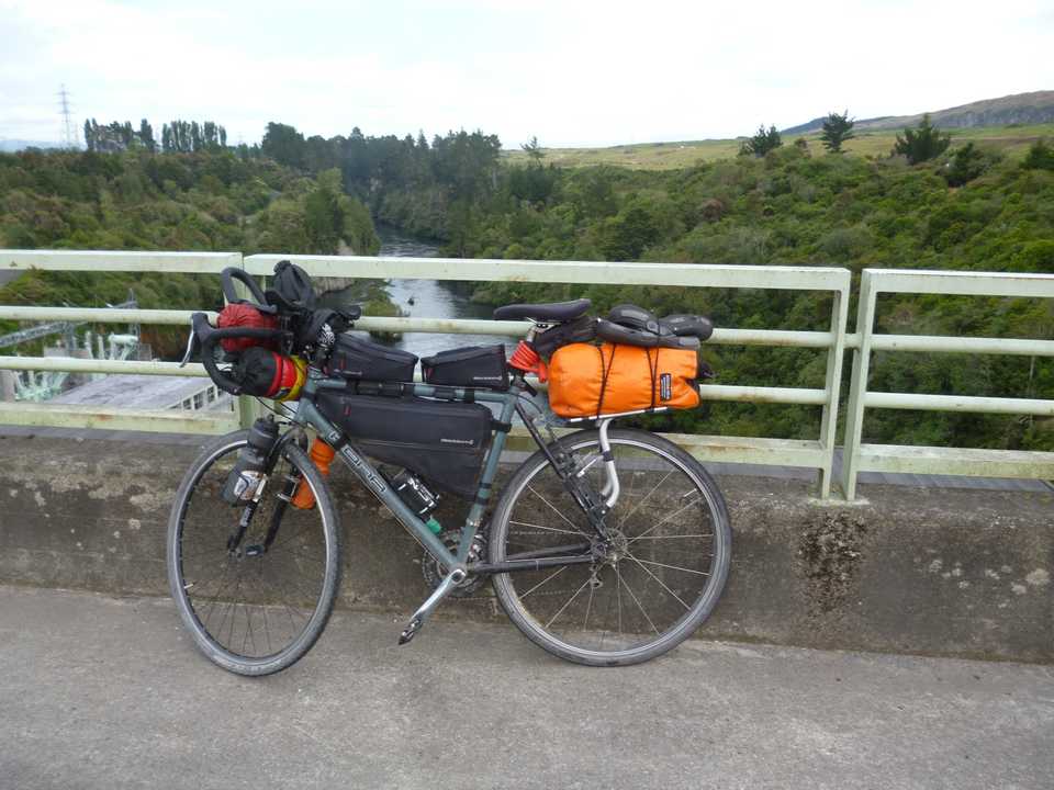
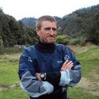
Warmer weather and holidays means that it is time for my annual bike trip. This year it has to be shorter due to a number of other life opportunities not the least my part in the ‘Iron Bic’s’ half ironman team. Cam suggested that we field a team to compete in the Tauranga race on Jan 12th. I needed to be back and recovered to complete the 90km bike section (Tyler 2 km swim & Cam 21km run). Rather than my usual 6-700km jaunt I cut it in half (301km) but still managed to cover some new ground.
Jan 2019
Last year I had significant issues with eating and staying hydrated so a goal this time was to manage this aspect.
As I have ridden most of the roads near home I got Glenys to drop me at the Te Waihou walkway carpark, just out of Putaruru on Sunday morning. From here I rode up Leslie Rd which is the bikers alternative to Rotorua via Mamaku.
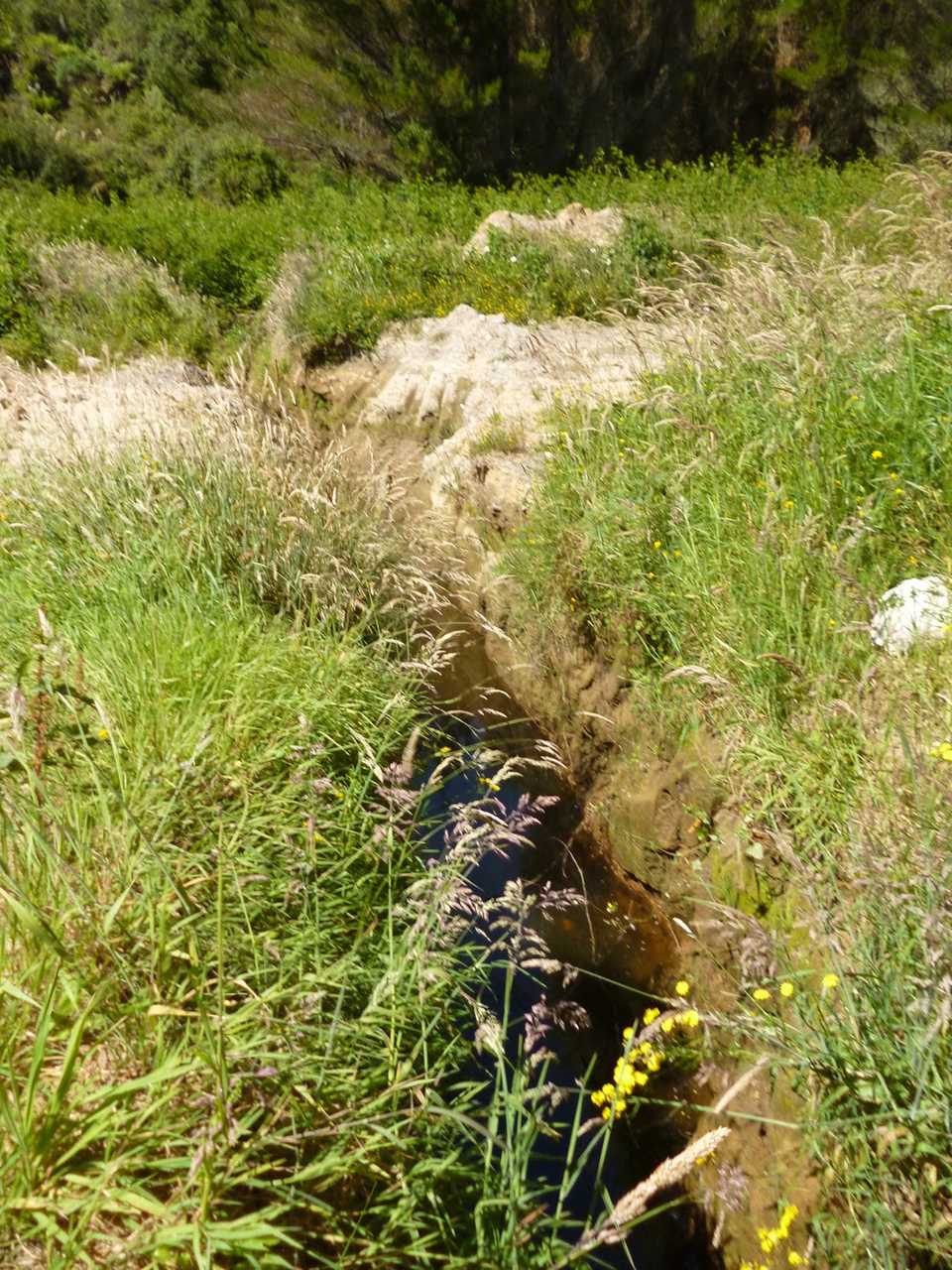
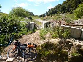
As I topped out, the efforts of the forestry company to keep people out became more evident. 4 big ditches across the track which were impassable except enterprising locals had cut some single track around them to get their dirt bikes in.
The down hill from Mamaku on tar seal enabled me to scoff some food and up the average speed! Rotorua has a hunting & fishing store near my route so I called in there to pick up another a water bladder as I had only 2x 8oo ml drink bottles, a refuel at BP (pie, primo & bunderburg) had me ready for the next leg to Whakamaru ( 60km). The back roads to Ohakuri dam are a mix of tar & gravel and lots of hills, I took advantage of a bus shelter for a good rest before some nasty gravel uphill then a quick drop down to the dam. My cross bike has narrow tires which makes it skip around on loose gravel, I’m getting more confident and managed speeds of over 50km/hr on the better sections. I had been pushing into a westerly wind but when I hit the section down lake Whakamaru it got more exposed so the last 10km where hard.
I called into the Lake Whakamaru Christian camp to top up my water. The managers knew me and had been on some of the things we had done so it was good to rest & chat.
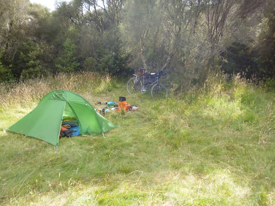
Dunham Reserve is beside the camp and is set up for free camping with toilets but no water. A swim in the weed infested lake refreshed me and washed the sweat out of my kit, replacing it with weed. There was the usual foreign tourists in small campers and a couple of kiwis in motorhomes. These people are usually worth talking to as they go all sorts of places and know back roads worth visiting. I managed to score some iced water from one couple.
To help me get the energy I need I’m eating double dehydrated meals, it takes a bit to get it all down but there actually some decent flavours.
A good sleep despite the wind sees me on the road at 7am for a quick 11km ride to the dam.
Whakamaru Dam
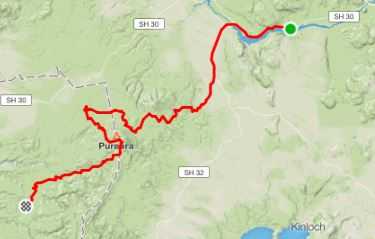
The café isn’t open in the village so I got a monster cookie for later at the petrol station & filled my bottles. I elect to take SH 30 until the turn off that will take me to Pureora Forest Park where I join the Tour Aotearoa route (3000km bike packing trip from tip to toe of NZ).
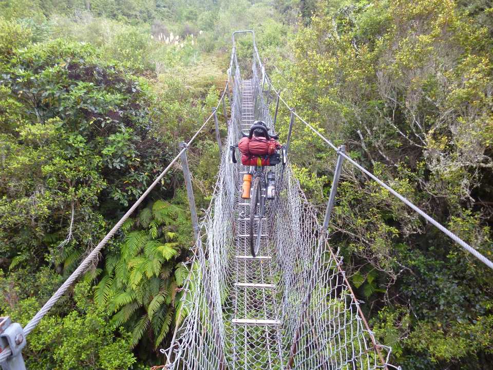
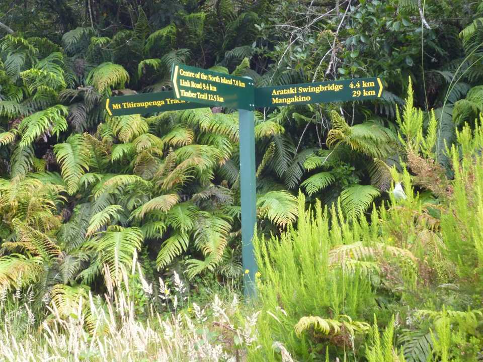
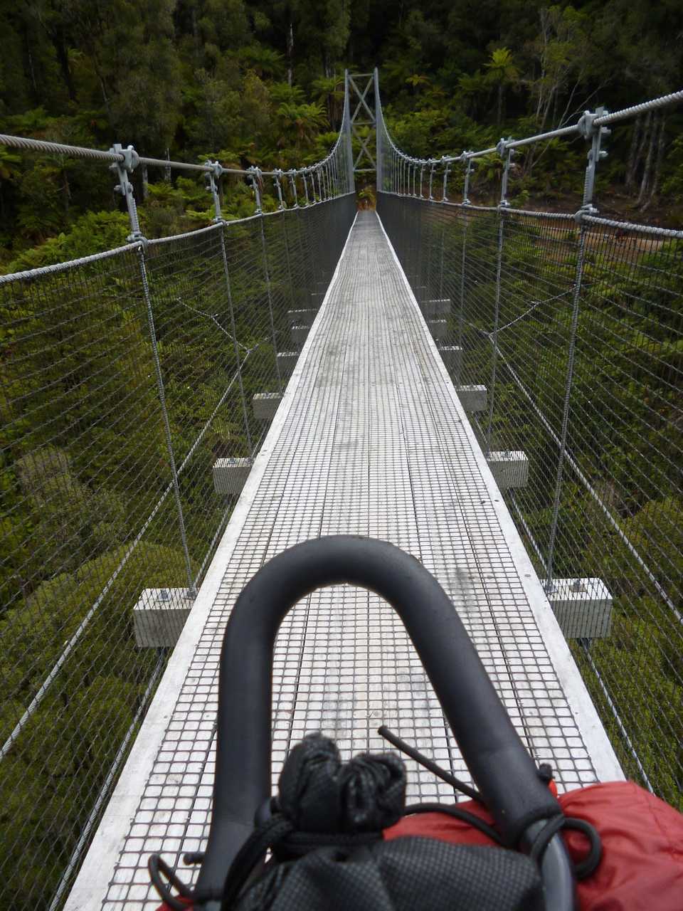
Across an old Forest Service swing bridge then onto what the tour guide describes as a “rough 4wd track and gets better”. I guess this was pretty accurate, from the swing bridge it was a grunty 4.4km to the “maintained gravel road”. I think it is a bit more travelled than when Andrew (brother) came through in the opposite direction a couple of years ago. Route finding was no problem though I was worried about all the dead blackberry on the ground with the potential of a puncture.
What followed was about 20 km of undulating gravel forestry roads before I hit the Timber Trail. Some nice views as I topped out at 835 m only to lose over 200m on some loose (slow) gravel roads. The Timber Trail is a must do mountain bike ride. Grade 2-3 and 85km. Many do it in 2 days and stay at a lodge or camp in the middle. Views, bush, high bridges, sweet down hills (after the uphills) make it a great ride.
The surface is in great shape so I can push along as I gain altitude. I fill up my nearly empty bottles at a convenient stream, as it is near the track I treat it. As I’m kneeling by the stream I get that familiar cramp feeling in my thighs. I have been adding electrolyte to my water but decide to up the amount. I’m clearly sweating a lot!
As I reach the high point (just shy of 1000m) I start to pass mountain bikers, who are somewhat surprised to see what looks like a laden road bike behind them. I have a snack (tinned sardines in oil) with a couple who are meeting family to camp at Piropiro Flats. They do have fully suspended MTBs so I expect them to pass me as the descent over the next 24km is over 500m. I do not see them again until I have my tent up at camp so I guess they enjoyed the scenery. On my previous 3 trips through here this section has been the roughest so it is nice that it is dry with a pretty good surface. The bush is regenerating nicely with some good sized trees evident.
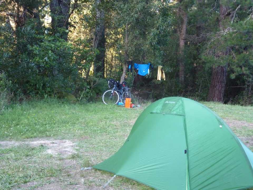
Piropiro Flats was the site of a timber mill & village but now is grassy flats surrounded by regenerating bush. Hunters use this as a base particularly during the roar. There is a small cold stream to wash the dust off and a number of long drop toilets. A number of operators provide a shuttle for camping gear to here. Glenys, some friends & I took this option the first time I came through here about 5 years ago. A good option. There is now a flash lodge where you can shower, eat, drink & be merry if you want to part with your hard earned $$. A couple on electric bikes I passed were taking this option as she has a heart condition and didn’t want to carry gear. Great that they were actually out there, I reckon!
The Te Araroa walk comes through here as well so watch out for trampers if you are biking. There would have been a couple of dozen people camping the night but with plenty of space noise was not a problem. Nice to see Tui, Kereru and Kaka around.
Everything was soaked from overnight dew. There was fog at 4.30am which cleared on sunrise. Muesli premixed with milk powder for breakfast. Caffeine comes from a Jed’s coffee bag with water boiled on my little meths burner gets me going though I’m not on the road until 8am. Destination caving club hut in Waitomo (110km) via Piopio(70km) for lunch. I’m tracking progress on my Tomtom runner GPS watch. Unfortunately a charge only lasts about 7 hours so todays record is in 2 instalments with the last 11km or so missing.
I’m now leaving the Timber Trail heading out on the gravel road to Waimiha (18km), nice going with only 1 van. I’m then back on gravel for a 200m+ climb over to State highway 4. The country is alternating farmland and pines on steeper papa-rock (sandstone). I have to dismount to push up a short steep section of loose gravel but once I get to the top it is a nice cruise to the bottom. I cross the highway and climb again to be rewarded with views of rolling farmland stretching up to Aria. The best downhill gravel road is next, nice cambered surface dropping over 200m in 3km, big gears but I won’t risk getting down on my aero bars as things could go badly wrong very quickly!
By the time I get to Aria my legs are feeling the higher cadence of flatter roads so I have a good break with 14km to lunch. There is a school pool here but no obvious opportunity to get in. This is another rural NZ town that is in decline, a school, hall but also many empty derelict houses. There are a number of quarries around by the number of dump trucks coming past.
Piopio & the Fat Pigeon Café, a favourite stopping point if we have caving club trips in this area. Bad news, the smoothie maker is broken. I’ve found that this is the best way to get digestible calories into the body especially as I suffer from reflux with strenuous exertion which I appear to be doing. Iced coffee it is with an avocado smash, fill the drink bottles & retreat to the park for a rest as another hill before climbing the 200m in 5km. This ride tops out at nearly 500m but the rest is not as steep.
I’m stopped by traffic control who inform me they “are spraying up ahead”. This is a tar seal quiet back road so I resign myself to a rest when his walkie talkie informs us that I can go through. I soon hit freshly laid tar with new chips on top. Very sticky and going everywhere. Not weeds after all.
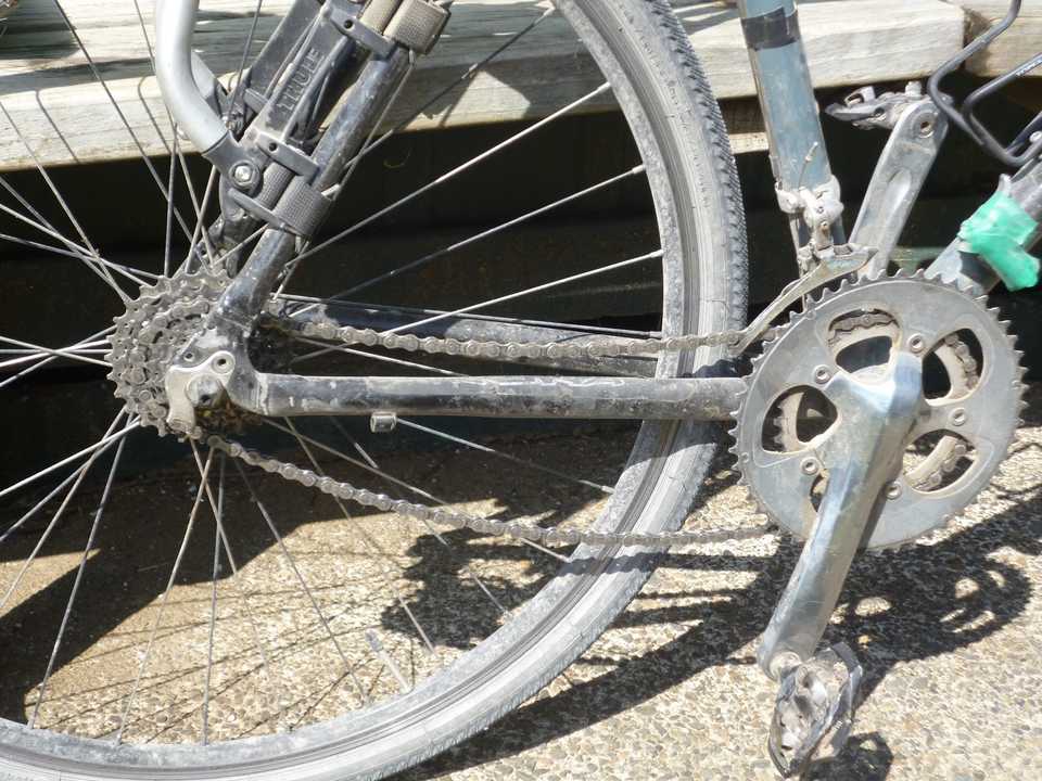
I get past work crew who seem amused at the lone sweaty cyclist. As I get off the new seal, tar & stones get in my rear derailleur, jamming the chain and putting it into my spokes breaking the hanger. With no spare it’s time to get creative. Remove the broken part, shorten the chain and make it a single speed bike.
This sort of works although I have over 20km left. I can free wheel downhill but I have to keep tension on to keep it in the best gear for uphills, if it changes up, as it did fairly often, the chain slips on the back gears.
I’m now back onto gravel on Waipuna Rd. I’ve cycled this before heading out to Marakopa. Well worth doing with great views and lovely sweeping turns. As I pass the bush of Waipuna Reserve I can smell cave. That unique earthy cool smell that I love. I have been in a few caves off this road over the years. My watch dies 1km before Te Anga Rd. Leaving the gravel for good I free wheel (9km) most of the way to what is now my final destination. The Hamilton Tomo Group’s (HTG) hut just out of the village. Cool shower, water, bed and the thing I probably miss the most is a table to sit at.
All needed now was the rescue taxi. Glenys had had some retreat days at the Mount, so wasn’t available until Wednesday. This worked out well as she drove down the to pick me up after a good sleep.
I got the eating & drinking better this time and now I would like to push out the daily distances somewhat. My map of the North Island is slowly filling out,the next big space to start filling is the Wairarapa.
